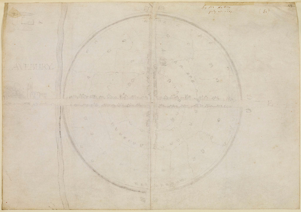
Plan of the stone circles of Avebury John Aubrey
Product images of Plan of the stone circles of Avebury


 zoom
zoom
Plan of the stone circles of Avebury
Map study of the major standing stones at Avebury with contemporary roads, field boundaries and houses. A river or ditch is shown, [intended as the river Kennet?] to the west of the main village with the church of Avebury St James. Inscribed left: "AVEBURY" in pencil and with an inscription in ink above [by Henry Oldenburg]: "By Mr Awbrey july 8 1663". The map shows paired stones at each entrance to the site and a detail of a four-stoned cove features upper left above the main title inscription. This map, Aubrey's "plaine-table" study, is discussed in detail in the book Avebury reconsidered: from the 1660s to the 1990s, by Peter J Ucko et al (London, Unwin Hyman, 1991), pp.119-129 [where it is styled "Plan C"].
Original: pencil on paper. 1663
- Image reference: RS-9372
- The Royal Society
Discover more
More by the artist John Aubrey.
Our prints
We use a 240gsm fine art paper and premium branded inks to create the perfect reproduction.
Our expertise and use of high-quality materials means that our print colours are independently verified to last between 100 and 200 years.
Read more about our fine art prints.
Manufactured in the UK
All products are printed in the UK, using the latest digital presses and a giclée printmaking process.
We only use premium branded inks, and colours are independently verified to last between 100 and 200 years.
Delivery and returns
We print everything to order so delivery times may vary but all unframed prints are despatched within 2-4 days via courier or recorded mail.
Delivery to the UK is £5 for an unframed print of any size.
We will happily replace your order if everything isn’t 100% perfect.


