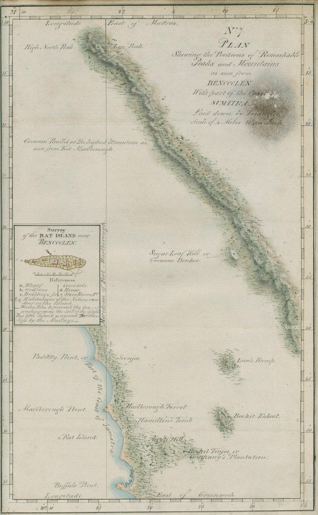
Map of South-West Sumatra unknown
Product images of Map of South-West Sumatra


 zoom
zoom
Map of South-West Sumatra
Map of the coastline and mountain peaks as seen from Fort Marlborough, Bencoolen [Benkulu City], south-western Sumatra, Indonesia. With an inset survey of Rat Island showing locations for the wharf, buildings for convicts and stores. Inscribed: 'Plan shewing the Positions of the Remarkable Peaks and Mountains as seen from Bencoolen With part of the Coast of Sumatra. Laid down by triangles...' Figure no.7 from Report of the length of the pendulum at the equator...made on an expedition...from the observatory at Madras..., by John Goldingham (Madras, 1824). Scale 1 inch: 4 miles. Original painting pasted onto a backing sheet. Not signed. Both papers watermarked: 'S.Wise & Co. 1822'. John Goldingham (c.1766-1849) British astronomer was elected a Fellow of the Royal Society in 1808.
Original: ink and watercolour on paper. ca. 1824
- Image reference: RS-10690
- The Royal Society
Discover more
More by the artist unknown.
Explore the collections Astronomy Prints, Maps and Constellations, Landscape paintings, prints and maps.
Our prints
We use a 240gsm fine art paper and premium branded inks to create the perfect reproduction.
Our expertise and use of high-quality materials means that our print colours are independently verified to last between 100 and 200 years.
Read more about our fine art prints.
Manufactured in the UK
All products are printed in the UK, using the latest digital presses and a giclée printmaking process.
We only use premium branded inks, and colours are independently verified to last between 100 and 200 years.
Delivery and returns
We print everything to order so delivery times may vary but all unframed prints are despatched within 2-4 days via courier or recorded mail.
Delivery to the UK is £5 for an unframed print of any size.
We will happily replace your order if everything isn’t 100% perfect.


